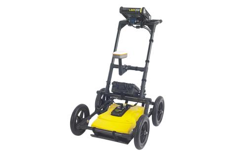
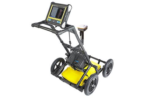
Radio Detection LMX200 Ground Penetrating Radar
Inhouse product
-

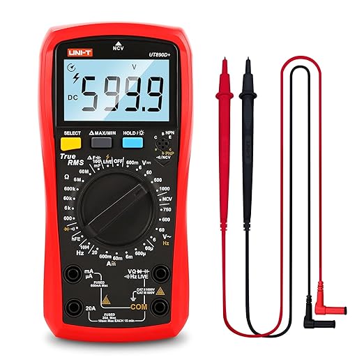
UT890D+ Digital Multimeter
$27.00
DescriptionThe Radiodetection LMX200 is a high-performance ground penetrating radar (GPR) system designed for utility mapping and subsurface imaging. It is suitable for locating both metallic and non-metallic pipes, cables, and other underground structures up to 8 meters (26 feet) deep. The device builds on the capabilities of the LMX100 by adding more advanced features. |
Key Features
|
Related products
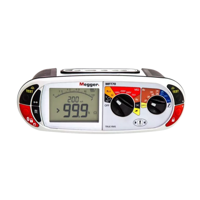
Megger MFT70 Multifunction Tester
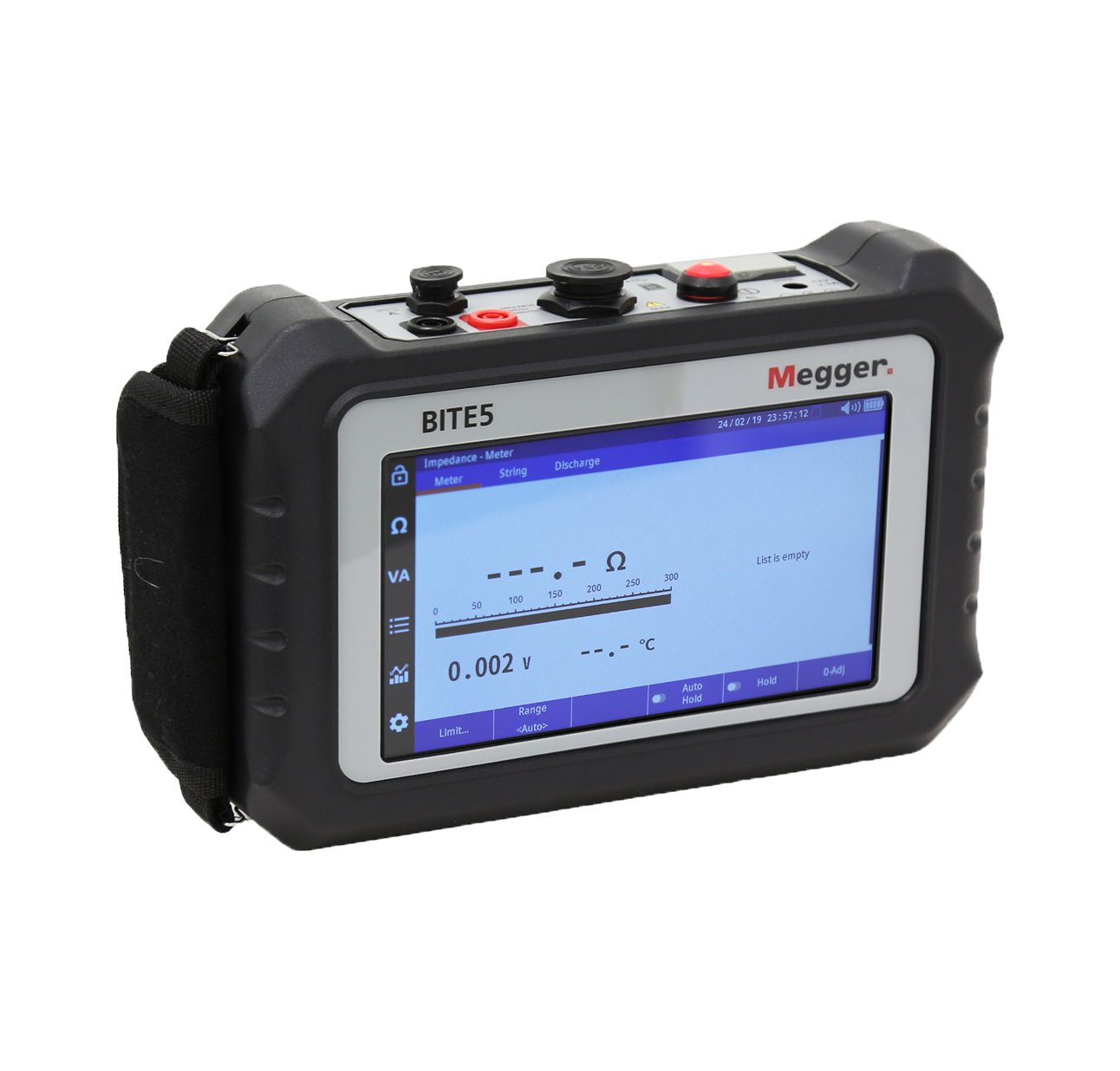
Megger BITE5 Battery Tester
Megger BITE5-ADV Advanced Battery Tester
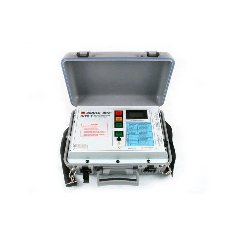
Megger BITE2P Battery Impedance Tester
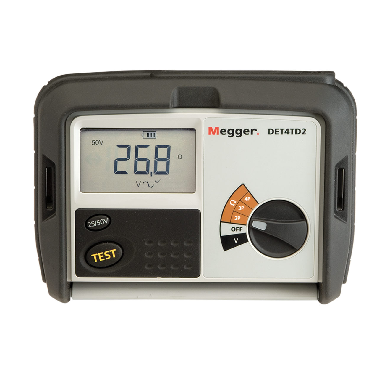
Megger DET4TD2 Ground Resistance Tester
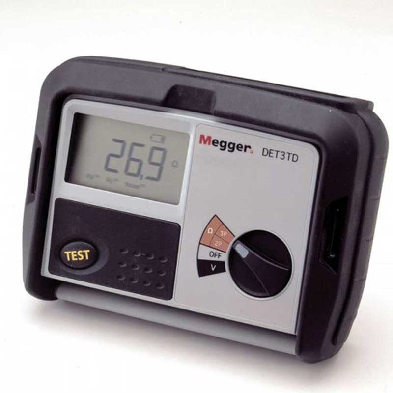
Megger DET3TD Digital Ground Tester
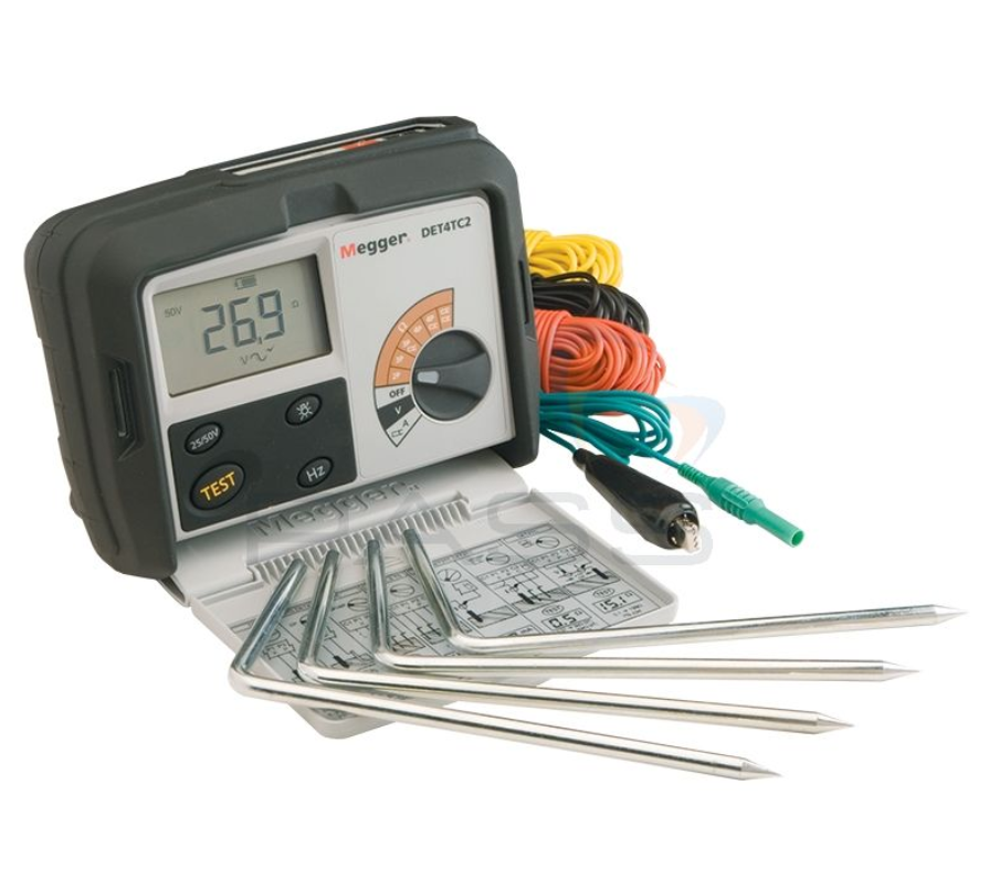
Megger DET4TC2 Ground Resistance Tester
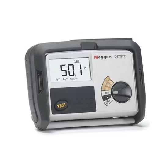
Megger DET3TC Digital Ground Tester
Company Information
NCIEM America – National Company of Industrial Equipments Marketing America, LLC
Business Type: Domestic Limited Liability Company (LLC)
State Registration Control Number: 25036795
TAX Number: 309-060341
Business & Operational Address:
NCIEM America LLC
191 Peachtree St., Suite 1400
Atlanta, GA 30303
United States
Contact Information:
Phone: +1 470 470 6556
Sales Email: [email protected]
Support Email: [email protected]
Business Hours:
Monday – Friday: 9:00 AM – 6:00 PM (EST)
Order Cut-off Time: 6:00 PM (EST)
Order Processing & Shipping Policy: Order Processing Time: 4–5 business days
Returns & Refund Policy: We offer a simple 30-day return and refund policy. For any return or support request, please contact our customer service team.
Accepted Payment Methods: PayPal • Link (by Stripe) • Visa • Mastercard • American Express • Discover
All products listed on this website are stocked, processed, and shipped exclusively from within the United States by NCIEM America LLC.
Service Area Limitation:
This website (nciem.us) serves customers located within the United States only. Orders placed on this website are fulfilled exclusively by our U.S. entity and are not shipped internationally from this platform.

Other Links
My Account
All the copyrights are reserved by nciem.us, owned and operated by NCIEM America LLC, Atlanta, United States.
NCIEM America LLC is not affiliated with or endorsed by any specific manufacturer/Brand unless explicitly stated.
Disclaimer:
All trademarks, logos and brand names are the property of their respective owners. All company, product and service names used in this website are for identification purposes only. Use of these names, trademarks and brands does not imply endorsement.